

The Brazilian Ministry of the Environment and Climate Change, together with the National Institute for Space Research, has launched a new system that monitors the condition of the entire Amazon biome on a daily basis. This was reported by
Agencia Brasil.
Previously, only dense forests were monitored, but now non-forest areas such as natural fields, savannahs and transition zones are also covered. These areas account for about one-fifth of the biome.
The system is based on satellite images and artificial intelligence algorithms. It records changes in vegetation: deforestation, fires, mineral extraction and other disturbances. All alerts are published on an open platform and are available free of charge.
“We are closing a critical gap in monitoring. Previously, information was not available on a daily basis, but now it is transparent and quickly accessible. This expands access to data and strengthens the government’s work,” said Andre Lima, Special Secretary for Deforestation Control and Environmental Land Use Planning.
According to the institute, the system is the result of many years of research and uses modern image processing methods. In the future, there are plans to extend it to other biomes.
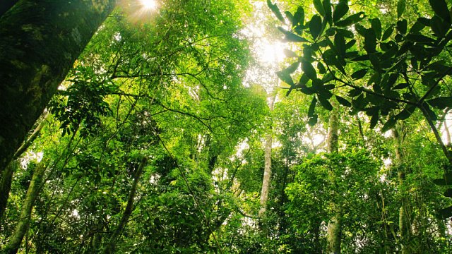
Photo: earlytwenties /
iStock
Самые
актуальные новости стран БРИКС https://tvbrics.com