
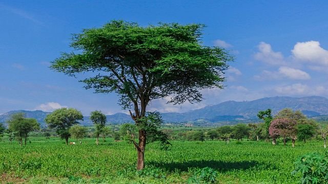

Ethiopia is using satellite imagery and GPS to monitor the results of tree planting more accurately. This was reported by
Fana Media Corporation (FMC), a partner of TV BRICS.
Experts from the Ethiopian Space Science and Geospatial Institute (SSGI) record the coordinates of the sites where trees are planted. During the latest nationwide campaign, areas totalling more than 291,000 hectares were surveyed using GPS.
The coordinates obtained are then cross-referenced with satellite imagery to verify whether planting actually took place in the marked areas and how the vegetation cover changes over time. Certain areas are also checked directly on site. This helps to avoid double-counting of the same areas and to identify inaccuracies in planting reports.
Satellite monitoring also makes it possible to observe changes in forest cover over time and assess how successfully the planted trees are taking root.
In 2026, under the Green Legacy Initiative, the country has set a target of planting 8 billion saplings.