
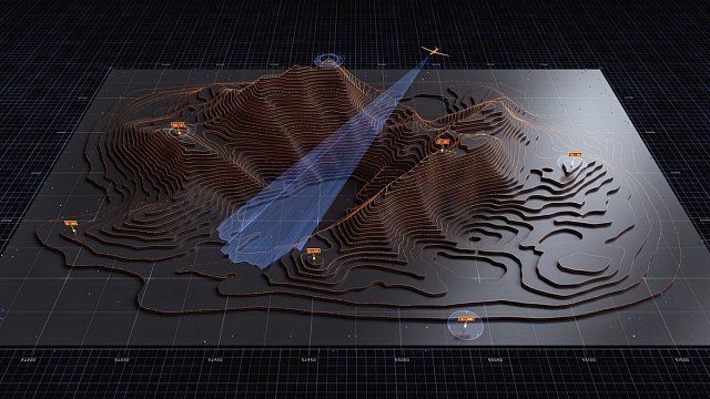

A methodology enabling the identification of promising areas for the search for deposits of gold, uranium, tin, molybdenum, tungsten and other strategic metals has been developed in Russia. To this end, scientists have created digital maps showing the concentration of ore deposits and the location of major deposits. This was reported on the
website of the Russian Ministry of Natural Resources and Environment.
The methodology was presented by specialists from the Institute of Geology of Ore Deposits, Petrography, Mineralogy and Geochemistry of the Russian Academy of Sciences (IGEM RAS) and Transbaikal State University (ZabGU). They analysed data on 269 deposits and 1,198 ore occurrences in the Transbaikal Region.
The study revealed patterns in the distribution of mineral resources. In particular, it was found that gold is often found alongside arsenic in small ore occurrences; however, this association is virtually non-existent in large deposits. This could help geologists pinpoint locations for the search for rich gold deposits more accurately.
“If there are many signs of gold associated with arsenic in an area, this may indicate that we are on the periphery of an ore system, whilst the ‘body’ itself, containing rich gold deposits, is most likely hidden deeper or displaced,” explained Stepan Ustinov, head of the joint laboratory of Transbaikal State University and Institute of Geology of Ore Deposits, Petrography, Mineralogy and Geochemistry of the Russian Academy of Sciences (IGEM RAS).
The researchers found the strongest correlation between uranium and molybdenum. The correlation coefficient was 0.86, reflecting the characteristics of the Streltsovsky uranium ore field, where these elements occur together.
To create the maps, the specialists applied a density estimation method similar to that used for constructing thermal maps in meteorology. Some maps show the concentration of all ore bodies, including small ones, while others show the location of large industrial deposits. Comparing this data made it possible to classify the territories according to their potential for further geological exploration.
Scientists are currently working to improve the accuracy of the method, taking into account the uneven level of geological investigation in the northern part of the Trans-Baikal Region. They are also developing a geoinformation platform and algorithms for analysing geological data using artificial intelligence.